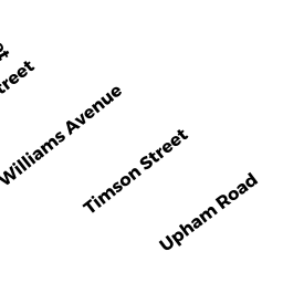
11 GROVELAND ST
Owner Information
KARIMI ROSE
11 GROVELAND ST
LYNN, MA 01902


Property Details
11 GROVELAND ST is classified as a Single Family Residential (Old style).
The primary structure on this property was built in 1880. There are 958ft2 of built area within this property. There is 958ft2 of residential/living space within this property. This property is listed as having 5 rooms.
11 GROVELAND ST is valued at $284,800. The land is valued at $128,200 and the structures are valued at $156,600.
This property is in Zone R1. Confirm with local Zoning Board authorities to ensure there are no overlays or other easements on this property.
The most recent deed for 11 GROVELAND ST is recorded at the local registrar in Book 35717, Page 005. 11 GROVELAND ST was last sold on Friday, March 3, 2017 for $199,000.
Assessment data from fiscal year 2022.
Flood Data
According to the FEMA National Flood Hazard Layer, this property does not appear to be in a flood zone. It may also be in an area not yet reviewed. Nonetheless, confirm this information prior to taking any action.
To view the flood hazards around this property, create a FEMA "Firmette" Map of the area around 11 GROVELAND ST.
Broadband Internet Providers
| Provider | Type | Bandwidth (mbps) | |
|---|---|---|---|
| GCI Communication Corp. | Satellite | 0 | 0 |
| Comcast | Cable | 1000 | 35 |
| T-Mobile | Fixed Wireless | 25 | 3 |
| Verizon New England Inc. | Fiber | 940 | 880 |
| Viasat Inc | Satellite | 100 | 3 |
| HughesNet | Satellite | 25 | 3 |
| VSAT Systems, LLC. | Satellite | 2 | 1 |
| Verizon New England Inc. | DSL | 5 | 0 |
Broadband service provider data from December 2020.
Adjacent Properties
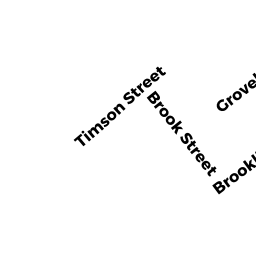
- 66 TIMSON ST
Two-Family Residential owned by PATNAUDE APRIL M - 15 GROVELAND ST
Single Family Residential owned by ROCKER FRANK H - 64 TIMSON ST
Three-Family Residential owned by PERJUSTE GERARDO - 60 TIMSON ST
Single Family Residential owned by MANON VICTOR - 7 GROVELAND ST
Single Family Residential owned by CLERVOIS CLARK R